Call it a case of a few contributed dollars making a big impact.
Thanks to two $25 donations (thanks Scott and Wendy), the layout software Graphic was added to the tools used in the production of the Lost Sea Expedition series. That’s been a huge help. I wanted to show you how.
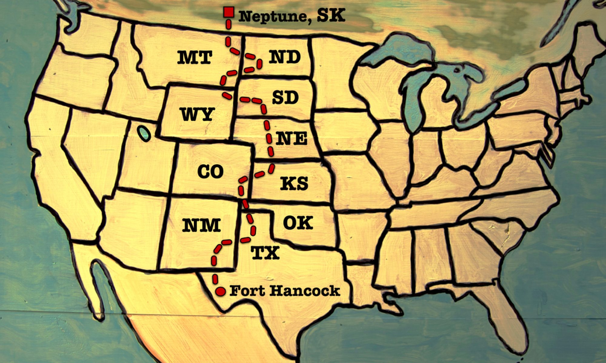
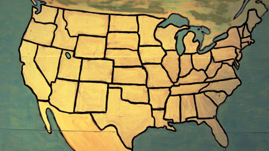
Graphic lets us label the hand painted maps that feature through out the TV series. See that map above?
Here’s what it looks like with our route across America digitally added to it.
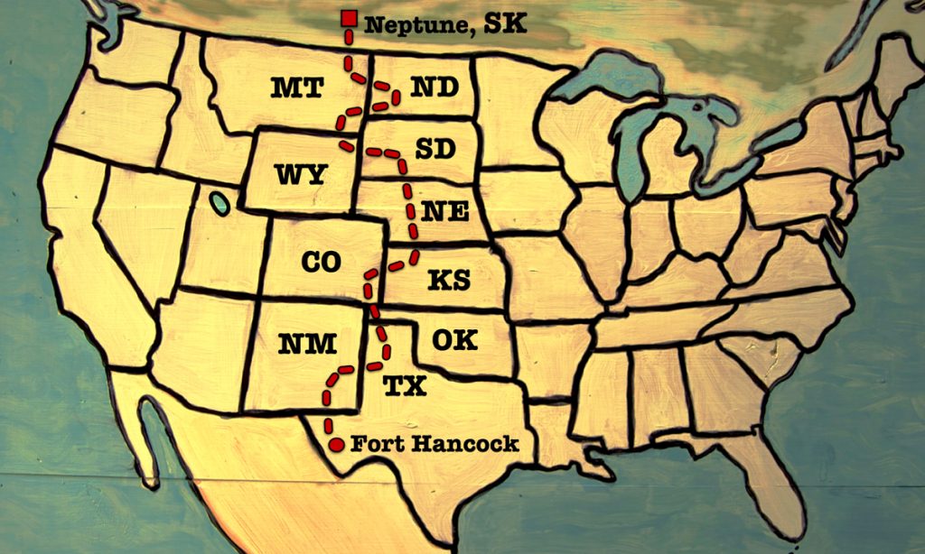
Thanks again Scott and Wendy for your donation. Your contribution literally “drew” the trail across America for the TV series!
I sure appreciate everyone who’s stepping up with their contributions. It’s making a measurable and beautiful impact.
![]()
Thanks!